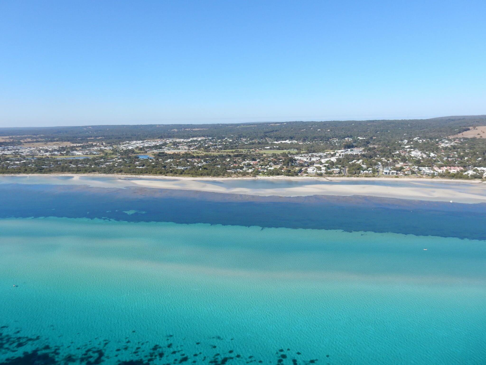
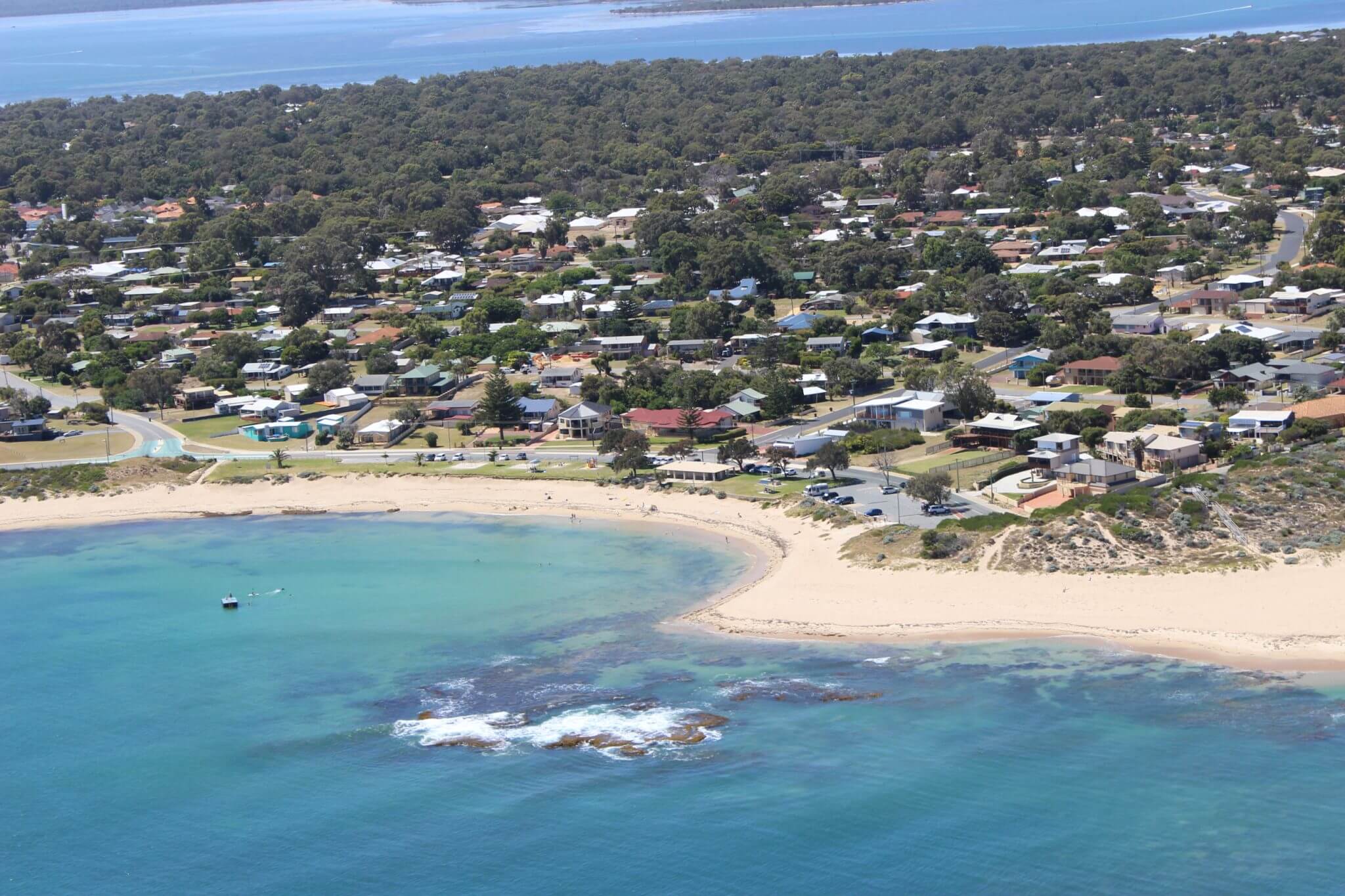
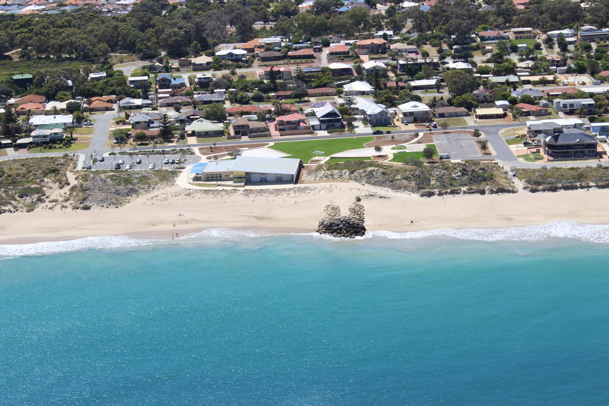
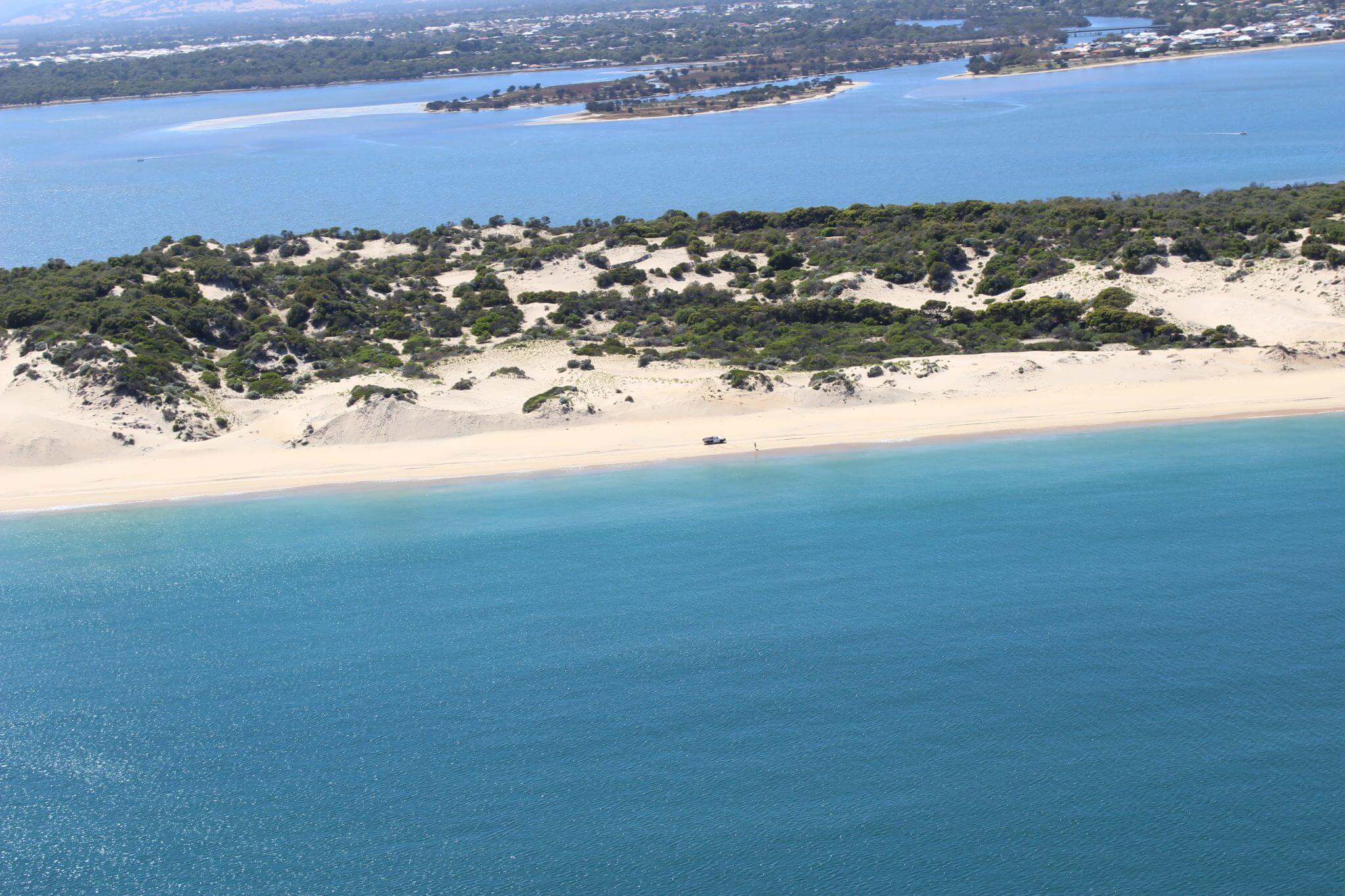
The PNP is delivering a regional coastal monitoring program (covering approximately 200km of coast and estuarine areas) to improve our understanding and capacity to respond to erosion and inundation hazards in the coastal zone. The program was to developed to be a sustainable, long term and standardised coastal monitoring program. The methods of data collection include:
- Beach width measurements (monthly)
- Photo surveys (monthly)
- Dune migration rates (bi-annual to annual)
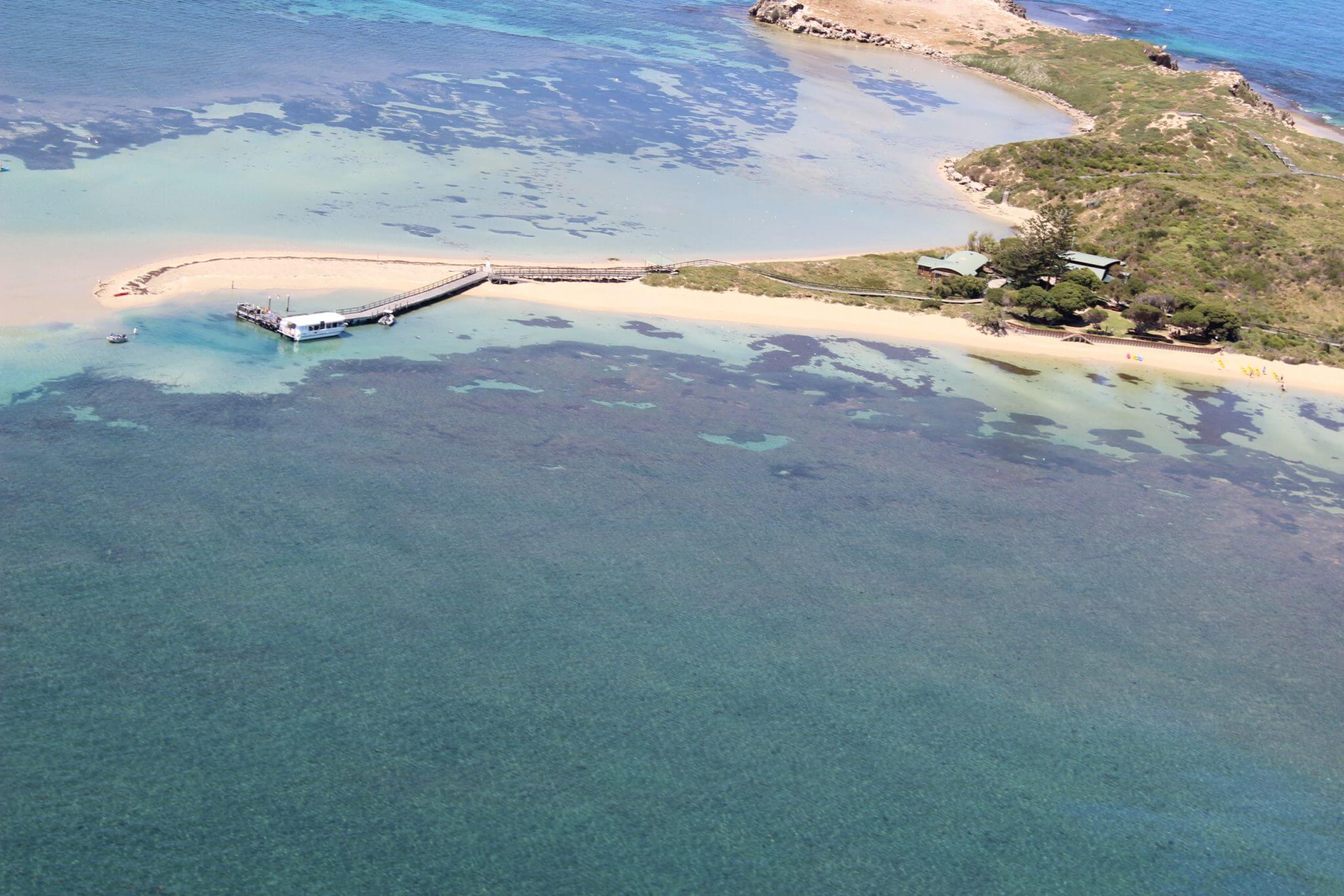
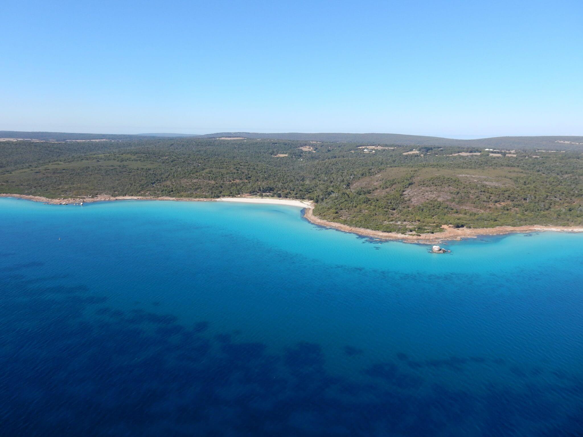
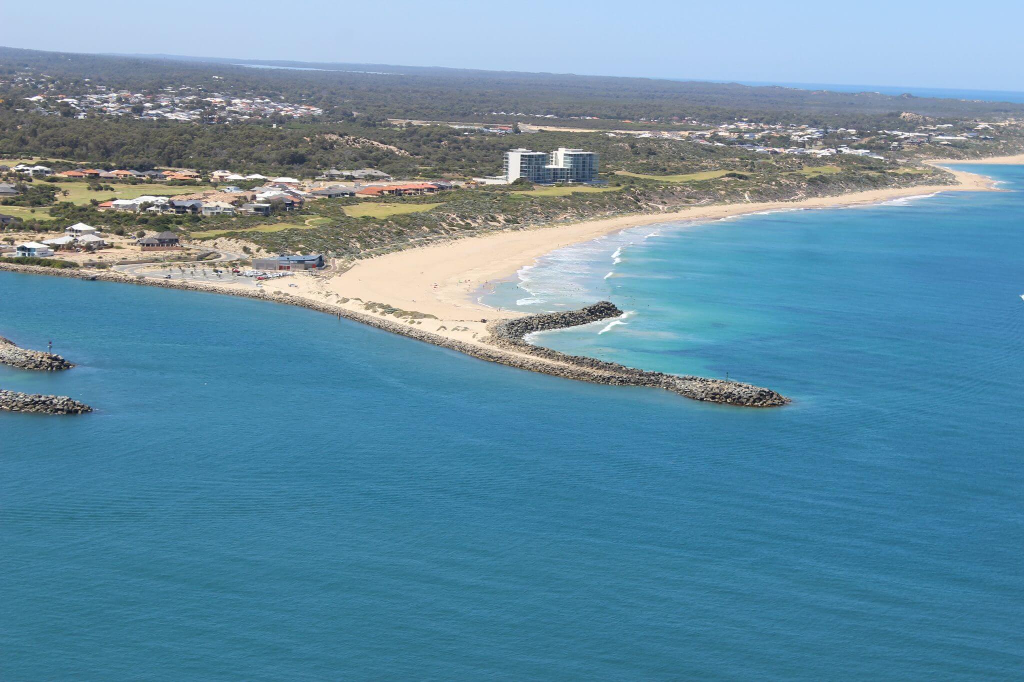
- Oblique aerial surveys (bi-annual)
- Flood frequency (event)
- Inundation extent (event)
The first phase of the program included the following three key outputs:
- Collecting aerial oblique photography and consolidating existing datasets into a new database for use by the member councils.
- Standardised Regional Coastal Monitoring Guidelines for best practice standards and guidelines to assist the member local governments to adopt and implement the monitoring action plan.
- A 10 year Coastal Monitoring Action Plan was also developed to increase the capacity for all member councils to make better use of their resources and to manage coasts more effectively.
Local Governments with assistance from the PNP are now undertaking monitoring of beaches across the region.
This includes collection of oblique aerial photos. If you would like to view these images, UWA developed a dedicated website where you can easily view and compare photos of the PNP region. UWA are continuing to collaborate with the PNP in undertaking the oblique aerial surveys and maintaining the website.
The PNP would like to acknowledge the Western Australian Department of Transport that partly funded this work.