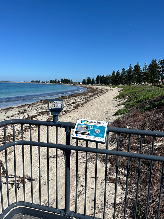
The PNP is delivering the first CoastSnap project in Western Australia. CoastSnap, which started in NSW, is now a successful global initiative that is engaging and involving the community in scientific and environmental research to monitor our changing coastline.
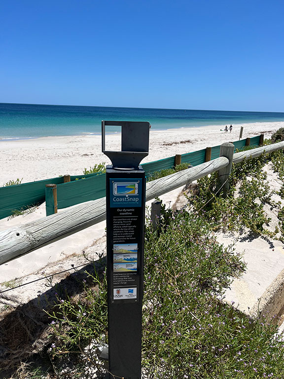
Members of the community take photos of beaches from a fixed smartphone camera stand that ensures photos have the same field of view. These photos are then uploaded where, in addition to providing qualitative information of the along-coast morphology and beach state, beach width measurements and shoreline position can be extracted.
Furthermore, decision makers and coastal researchers can use this data to investigate how much the beach may change during extreme conditions, or in response to the long-term effects of climate change. A report that includes analysis of the first 6 months of data is available here.
The sites currently include vulnerable coastal locations in the following locations.
- Mersey Point Jetty, Shoalwater Bay, Rockingham
- Waikiki Beach, Rockingham
- Henson St, Silver Sands, Mandurah
- Doddies Beach, Mandurah
- Falcon Bay, Mandurah
- Madora Bay, Mandurah
- Heron Point, Birchmont
- Binningup Beach
- Eaton Foreshore
- Dolphin Discovery Centre, Koombana Bay, Bunbury
- Hungry Hollow, Bunbury Back Beach, Bunbury
- Dalyellup Beach
- Peppermint Grove Beach
- Busselton Jetty
How do I get involved?
Visit one of the photo monitoring sites and follow these simple steps:
- Snap a photo by placing smartphone on its side in stand / cradle and take a photo
- Upload your photo using the QR code or CoastSnap App:
- With camera open, point at QR code on the sign and follow link to database; or
- Download and use the free CoastSnap App.
For further information please visit CoastSnap. You can also view photos submitted by citizen scientists on the CoastSnapWA Facebook page.
The PNP would like to acknowledge the Western Australian Government that partly funded this project.