The Shire of Harvey and the PNP has prepared a technically robust Coastal Hazard Risk Management Adaptation Plan (CHRMAP) for Harvey to use in planning for its coast and particularly in the management of coastal assets. The CHRMAP builds upon the regional-scale PNP Project Developing Flexible Adaptation Options for the Peron Naturaliste Coastal Region of Western Australia, which identified areas where future impacts from coastal erosion and inundation are likely to affect the Peron Naturalise coast.
This CHRMAP translated strategic and technical data and information with input from the local community to develop a plan that is practical and accessible. The outcomes and recommendations have raised awareness of local coastal processes, hazards and risks in the Council and community and will assist the Shire of Harvey in building more sustainable and resilient coastal communities.
This project also included the development of a template that will assist other PNP member Councils in the development of their own local CHRMAP’s.
Why is the CHRMAP being undertaken?
The PNP takes a strategic approach to the management and implementation of coastal adaptation across the Peron Naturaliste Region. This project links strategic objectives to the Shire’s daily operations in providing access, assets, safety, and security for the community across its coast.
The project includes coastal hazard risk identification, analysis and evaluation, and develop coastal hazard risk treatment options.
What is a Coastal Hazard Risk?
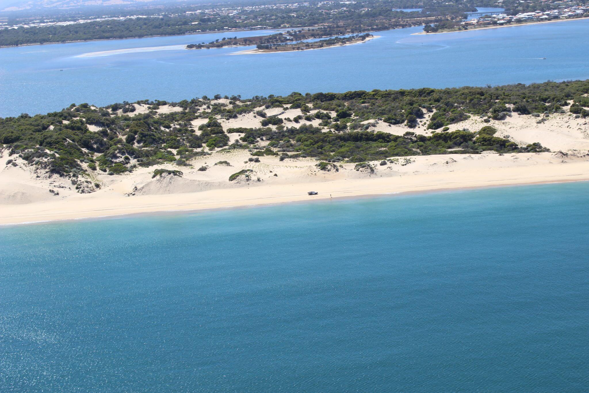
Coastal hazards are generally physical phenomena that expose a coastal area to the risk of property damage, and environmental degradation.
The first stage of report highlights the coastal hazards which are likely to affect the Harvey coast – such as erosion, flooding and sand drift and also the more unlikely extreme events. The second stage considered a range of adaptation options to manage the hazards.
Who was involved?
A Steering Group was formed by the PNP and the Shire of Harvey to ensure ongoing dialogue with key technical and community stakeholders. The Steering Group met regularly throughout the project. Its members were from the following groups:
- Shire of Harvey
- Peron Naturaliste Partnership
- South West Catchment Council
- Department of Planning
- Department of Transport
- Department of Environment and Regulation
- Binningup Coastcare and Environment Group
- Myalup Community Association
- Leschenault Catchment Council
The developing of the CHRMAP also included two community workshops where information was provided and feedback was sought from the community on what they value on the coast.
What was produced?
The project included the production of:
- Coastal Hazard Risk Management and Adaptation Plan – Part One
- Coastal Hazard Risk Management and Adaptation Plan – Part Two
- Summary of Key Issues
- Coastal Hazards Assessment – Part One
- Coastal Hazards Assessment – Part Two
- Coastal Hazard Risk Management and Adaptation Plan Template
The Shire of Harvey and the PNP would like to acknowledge the Western Australian Planning Commission (WAPC) that partly funded this project.